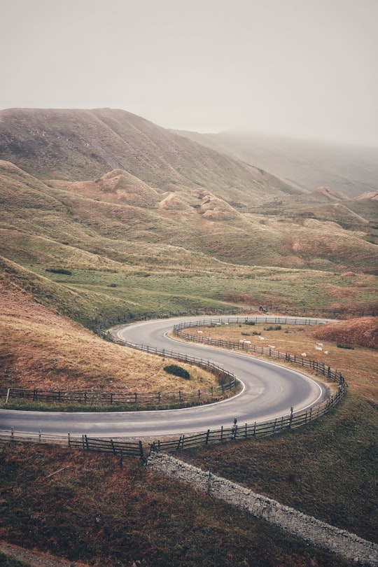
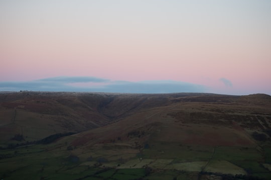
Travel Guide of Mam Tor in United Kingdom by Influencers and Travelers
Mam Tor is a 517 m hill near Castleton in the High Peak of Derbyshire, England. Its name means "mother hill", so called because frequent landslips on its eastern face have resulted in a multitude of "mini-hills" beneath it.
Pictures and Stories of Mam Tor from Influencers
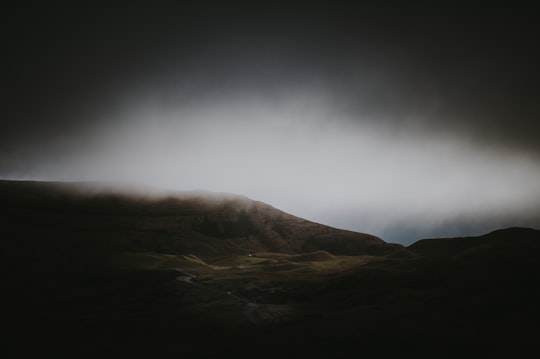
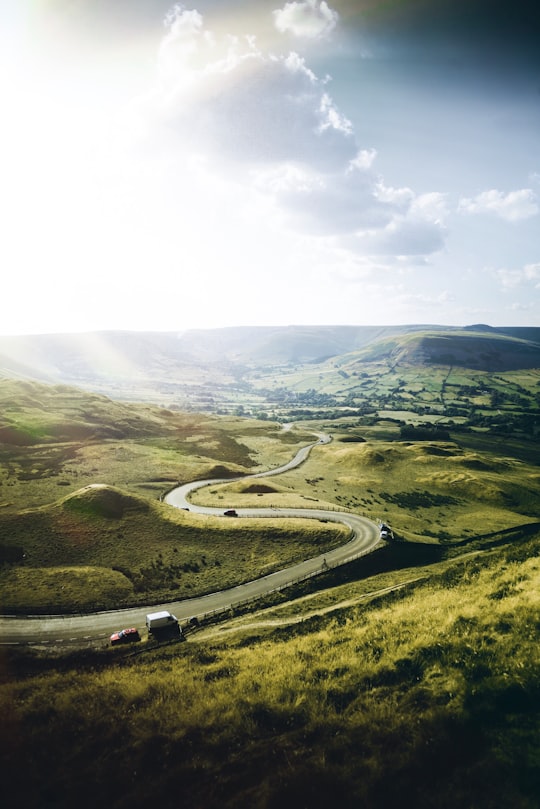
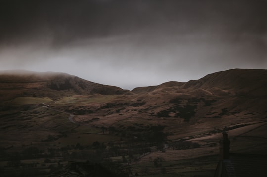
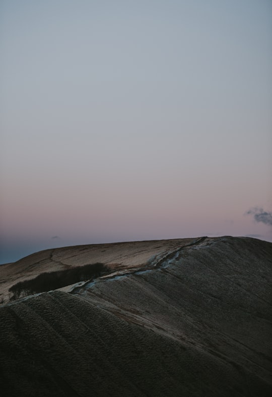
19 pictures of Mam Tor from Jonathan Bean, Adam Birkett, Annie Spratt and other travelers
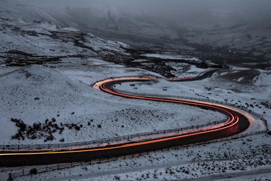
- Light Trails at Mam Tor, Peak District, England ...click to read more
- Experienced by @Jonathan Bean | ©Unsplash
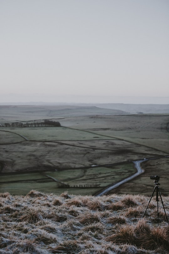
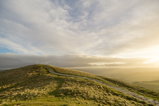
- Up at dawn to walk up Mam Tor to watch the sunrise. ...click to read more
- Experienced by @Annie Spratt | ©Unsplash
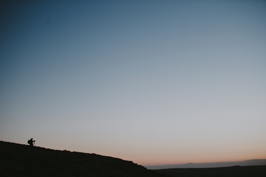
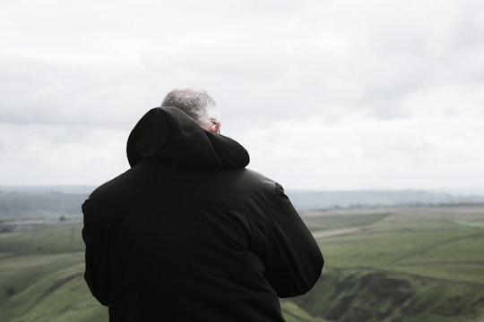
- Silhouette of photographer capturing sunrise ...click to read more
- Experienced by @Annie Spratt | ©Unsplash
Plan your trip in Mam Tor with AI 🤖 🗺
Roadtrips.ai is a AI powered trip planner that you can use to generate a customized trip itinerary for any destination in United Kingdom in just one clickJust write your activities preferences, budget and number of days travelling and our artificial intelligence will do the rest for you
👉 Use the AI Trip Planner
Book your Travel Experience at Mam Tor
Discover the best tours and activities around Mam Tor, United Kingdom and book your travel experience today with our booking partners
Map of Mam Tor
View Mam Tor on a map
More Travel spots to explore around Mam Tor
Click on the pictures to learn more about the places and to get directions
Discover more travel spots to explore around Mam Tor
⛰️ Hill spots 🌲 Plain spots 🛣️ Road trip spots 🌲 Ecoregion spots ️🏜️ Desert spots ⛰️ Highland spots ️🏜️ Dune spots Adventure spotsLearn More about Mam Tor
Mam Tor is an iconic peak in the Derbyshire Peak District, standing just outside the pretty village of Castleton. It lies on the border of the gritstone edges of the Dark Peak and the limestone plateaux of the White Peak. Its dramatic and distinctive skyline can be seen from almost all points throughout the area. Mam Tor, literally meaning Mother Hill, stands at 517 m high and towers over Castleton. Despite its imposing height, Mam Tor is a relatively easy hill to climb, however, especially from the National Trust car park at Mam Nick, from where there is a well-paved path to the trig point at the summit. The views from the top of Mam Tor are simply stunning, taking in the whole of the Hope Valley on one side and the whole of the Edale Valley to Kinder Scout and the Derwent Moors on the other. Mam Tor is a place of ancient civilisation, with evidence of occupation from around 1200 BC. The summit is surrounded by two well-preserved ancient hill forts, one dating from the late Bronze Age and the other from the early Iron Age. This makes Mam Tor the site of one of the earliest hill forts in Britain and also one of the largest, covering an area of around 16 acres. There are also two Bronze Age burial barrows on Mam Tor which have survived well. Significant archaeological remains have been found on excavation of the barrows, including human bones, prehistoric pottery and a bronze flat axe. There is also evidence that more than a hundred timber round houses were constructed on the hillside close to the summit of Mam Tor, built on flat level platforms, creating an Iron Age village. Excavations of the site have revealed internal hearths, stake holes and storage pits in the huts, as well as fragments of whetstones, shale bracelets and pot shards. The remains of the hut platforms can still be seen cut into the west- and east-facing slopes. Mam Tor is likely to have remained occupied until around 400 BC, after which it was used for grazing livestock, which is still its primary use today. The ancient constructions are classified as a Scheduled Ancient Monument, and the whole of Mam Tor is now owned and managed by the National Trust.
Where to Stay near Mam Tor
Discover the best hotels around Mam Tor, United Kingdom and book your stay today with our booking partner booking.com

